Problem:
A large commercial, mixed use, building wanted to understand how well the different cellular operator networks were performing in their building. They had a feeling that it wasn’t working that well, as they were getting complaints from tenants. In the past they had a couple surveys done, but were not confident that enough of the spaces on each floor were tested to accurately represent the current performance. They wanted to be sure, and they wanted to be able to show their tenants that they had invested in addressing the issues they were having. They also wanted to know how bad it actually was, so they could assess the options they had to improve it.
Summary:
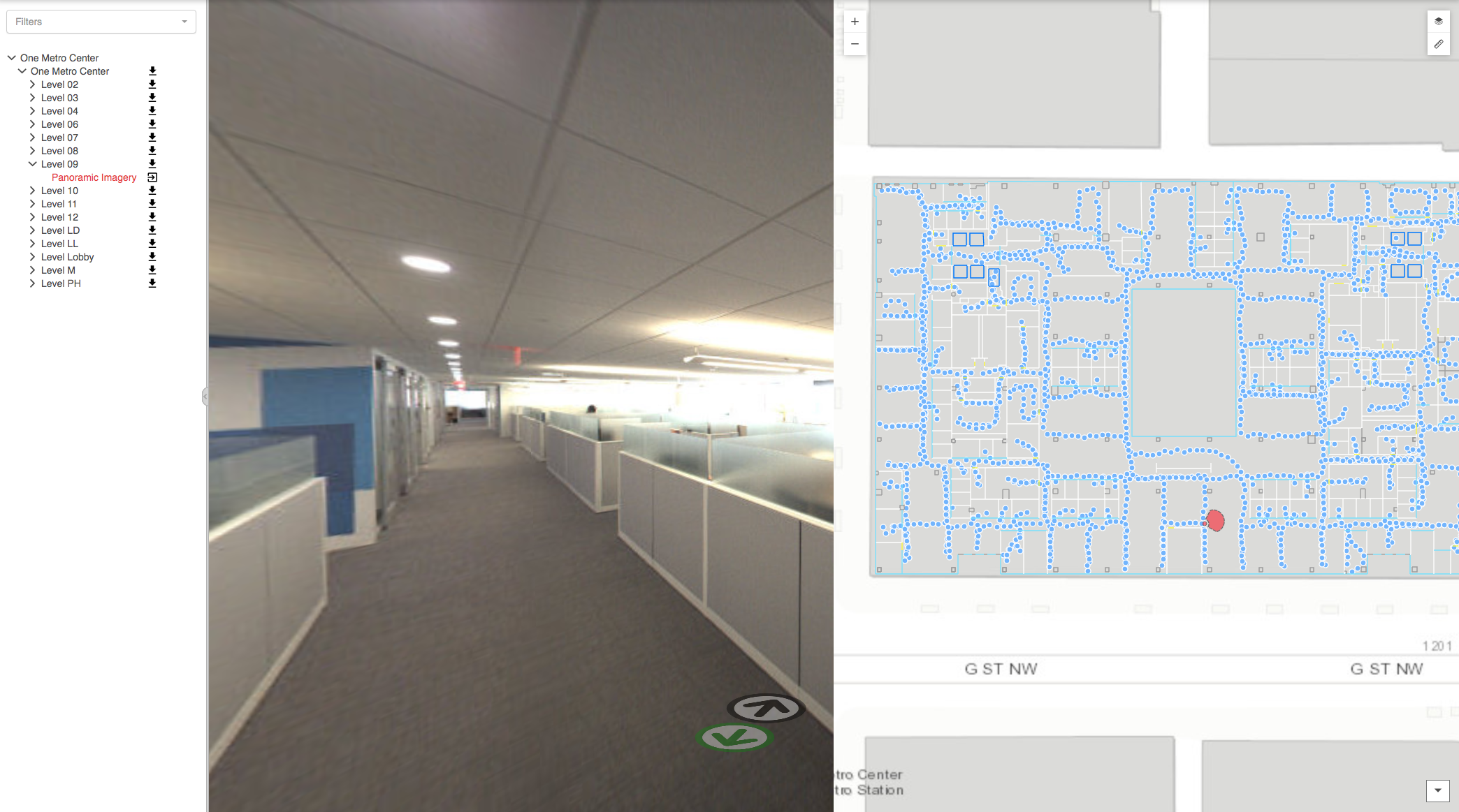
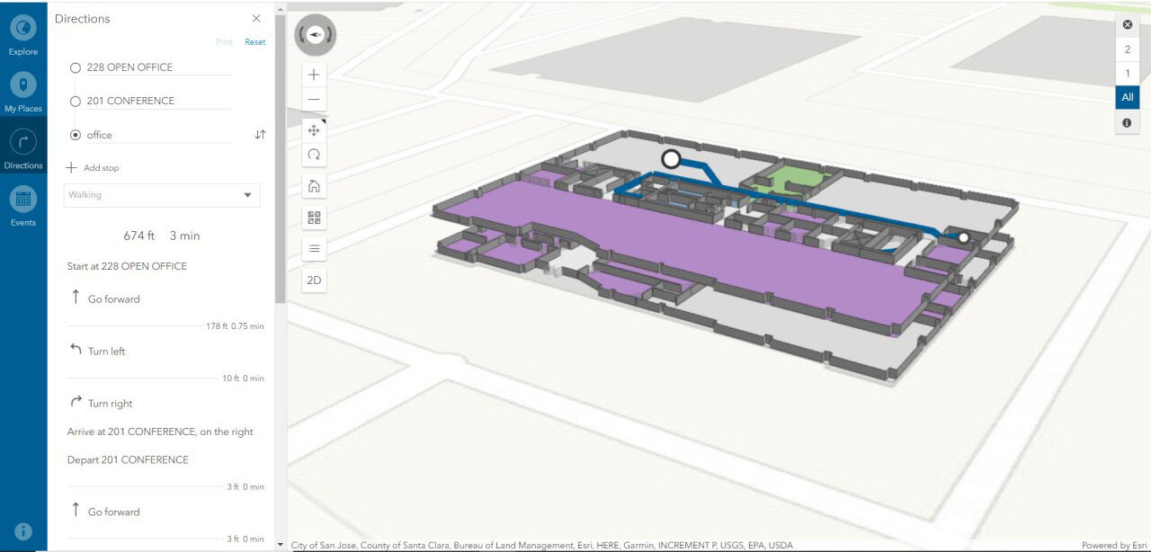
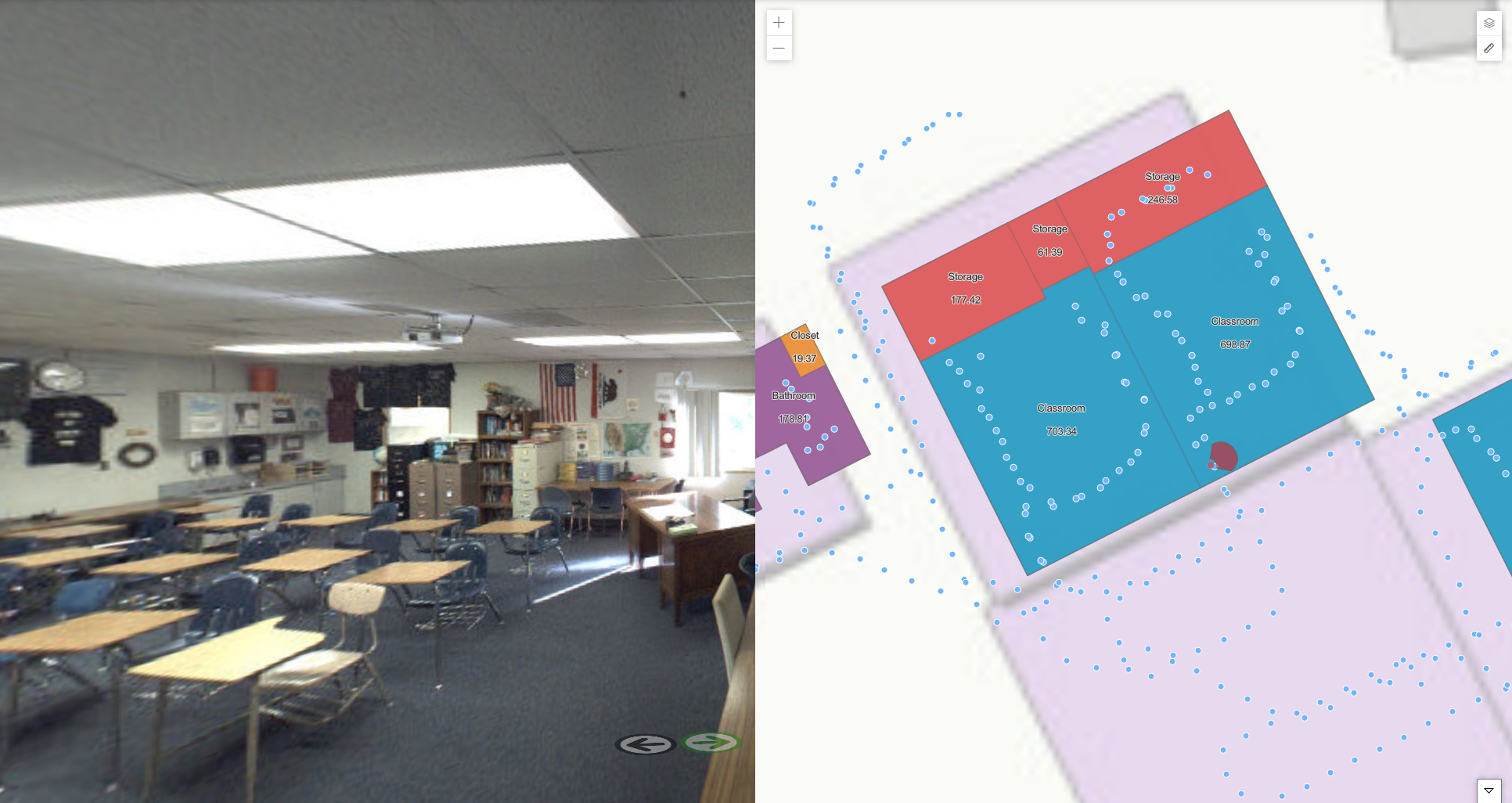
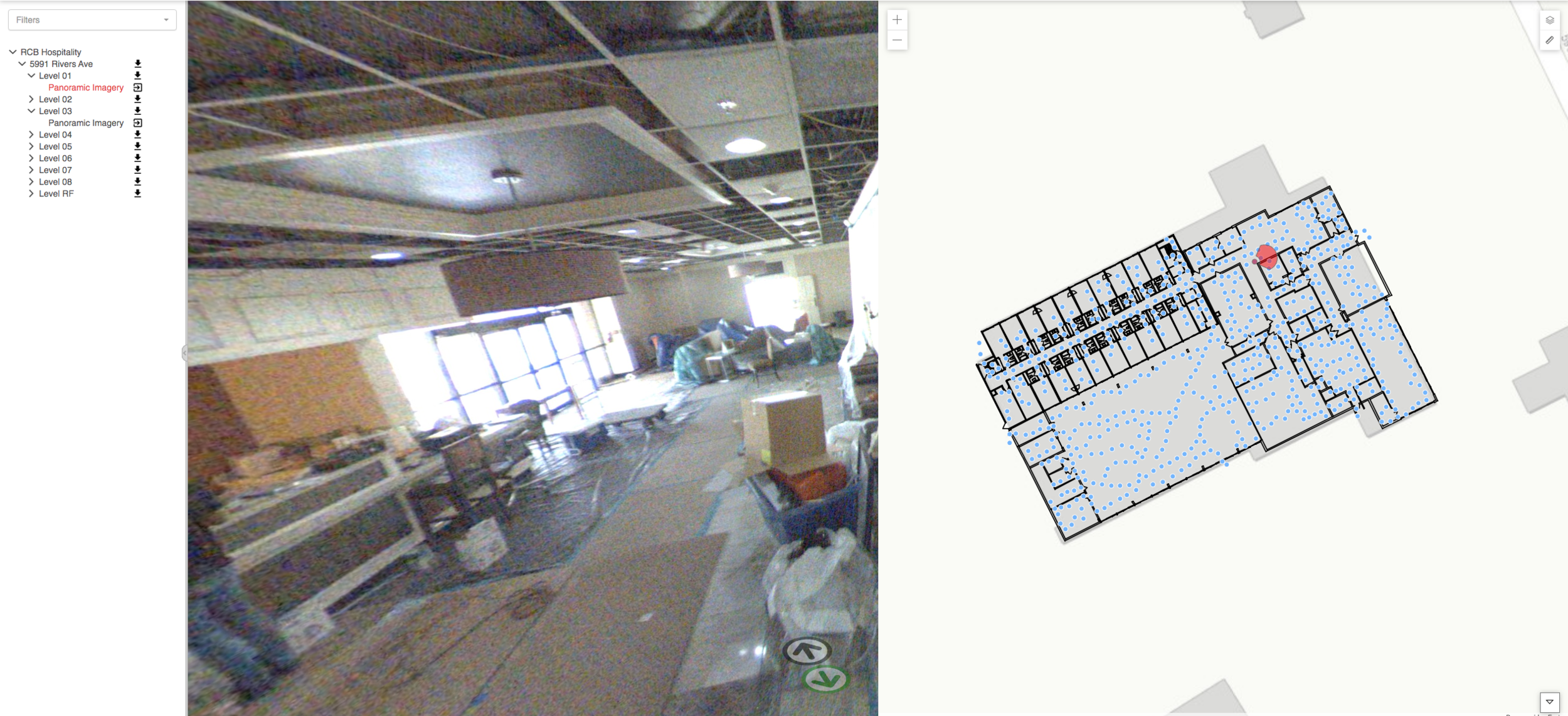
IndoorVu, with its proprietary indoor mapping technology and integrated cellular testing capability, was able to rapidly walk every room in the building and test all 4 (Verizon, AT&T, T-Mobile and Sprint) at the same time. The images below compare a typical walk route with the IndoorVu walk route.

Typical Walk Route IndoorVu Walk Route
The tests included measuring signal strength, upload and download speed as well as call tests. The data was delivered via IndoorVu Portal, a web based application, that the building owner could share with its tenants and aggregate to deliver insights to a number of different stakeholders. The data is aggregated into summary charts by floor as well as displayed in maps as seen below.

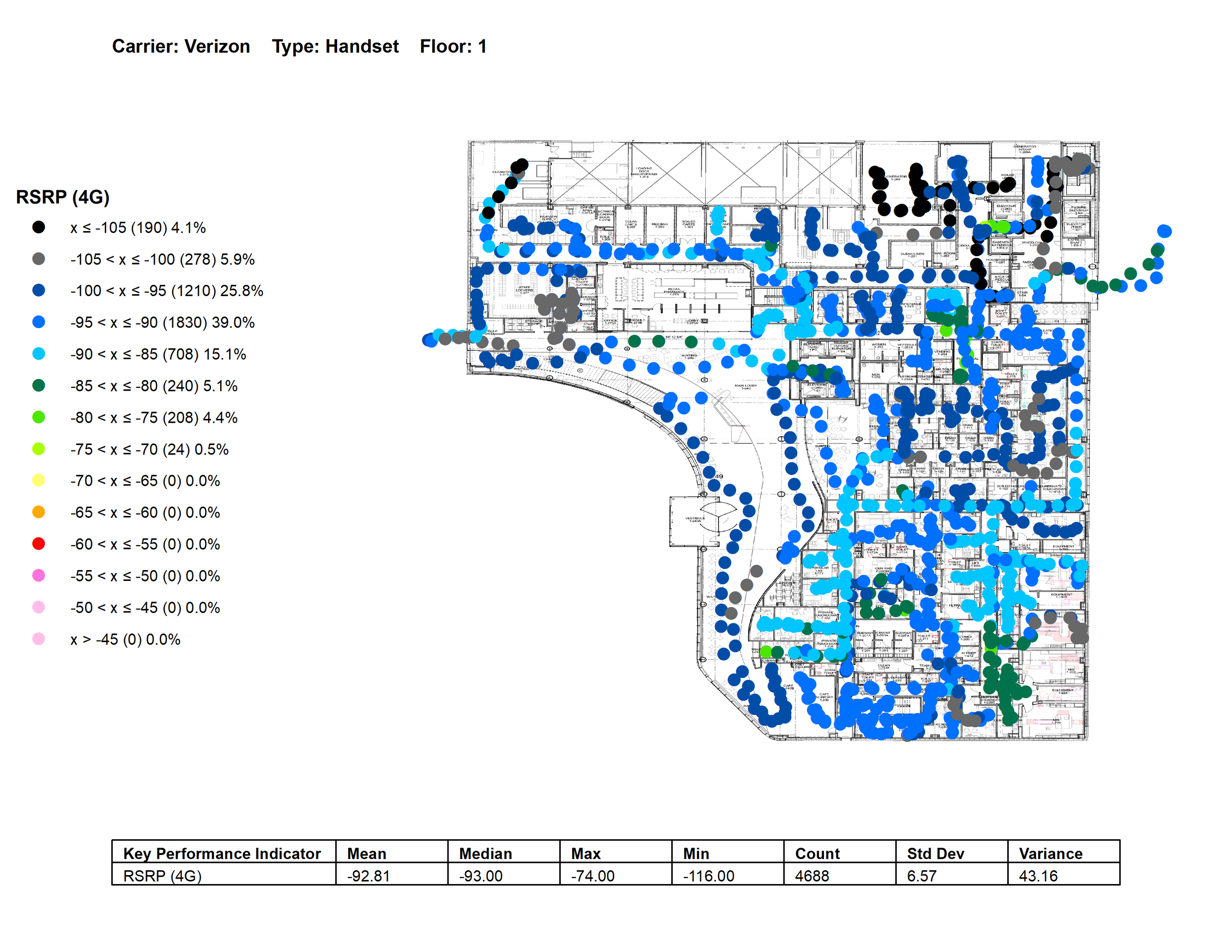
Verizon 4G Signal Strength Example

Verizon Upload Speed Example
Result:
The ability for IndoorVu to accurately test cellular networks in all rooms of the building, not just the main hallways or a small number of sample locations, proved incredibly valuable for the Owner. As a result, they were able to pinpoint and display the performance of all 4 cellular carriers across their entire building. The data gave them comprehensive and defendable datasets to share with their tenants and stakeholders. It also gave them the ability to work with their tenants to craft a business plan to improve the network performance with the carriers that served the building.
Additionally, the building now had a complete digital twin of their building that there leverage to support improvements across a number of other building operations (ie: space planning, asset management and security).